Category:Roads in Haxey
Jump to navigation
Jump to search
Subcategories
This category has the following 2 subcategories, out of 2 total.
- Dirt roads in Haxey (6 F)
S
Media in category "Roads in Haxey"
The following 15 files are in this category, out of 15 total.
-
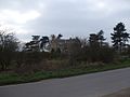 Alma House - geograph.org.uk - 1225225.jpg 640 × 480; 50 KB
-
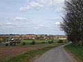
 Approach to Graiselound village - geograph.org.uk - 1339567.jpg 640 × 422; 94 KB
-
 Down Tower Hill - geograph.org.uk - 1239258.jpg 640 × 480; 34 KB
-
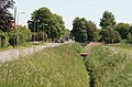
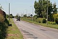
 East Lound - geograph.org.uk - 170927.jpg 640 × 480; 97 KB
-
 East Lound Road - geograph.org.uk - 1250290.jpg 640 × 480; 49 KB
-
 Entering Low Burnham - geograph.org.uk - 1239308.jpg 640 × 480; 60 KB
-
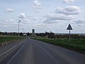
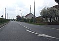
 Epworth Road at Cliff Hill - geograph.org.uk - 1239297.jpg 640 × 480; 43 KB
-
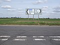 Epworth Road junction - geograph.org.uk - 1239289.jpg 640 × 480; 54 KB
-
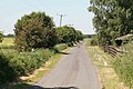 Farm road - geograph.org.uk - 1339610.jpg 640 × 427; 91 KB
-
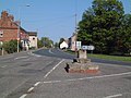 Cross at Haxey - geograph.org.uk - 170898.jpg 640 × 480; 99 KB
-
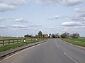
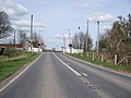 Haxey Station Level Crossing - geograph.org.uk - 1239250.jpg 640 × 480; 70 KB
-
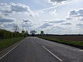
 Heading East - geograph.org.uk - 1339552.jpg 640 × 427; 74 KB
-
-
 Low Burnham - geograph.org.uk - 1250288.jpg 640 × 448; 56 KB
-
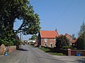
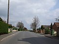
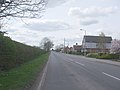 Westwoodside village - geograph.org.uk - 1239256.jpg 640 × 480; 53 KB