File:Naturpark Insel Usedom Dünen Bannwald bei Trassenheide.jpg
Size of this preview: 800 × 533 pixels. Other resolutions: 320 × 213 pixels | 640 × 427 pixels | 1,024 × 683 pixels | 1,280 × 853 pixels | 2,560 × 1,707 pixels | 4,704 × 3,136 pixels.
Original file (4,704 × 3,136 pixels, file size: 16.81 MB, MIME type: image/jpeg)
Captions
Captions
Add a one-line explanation of what this file represents
SummaryEdit
| Description |
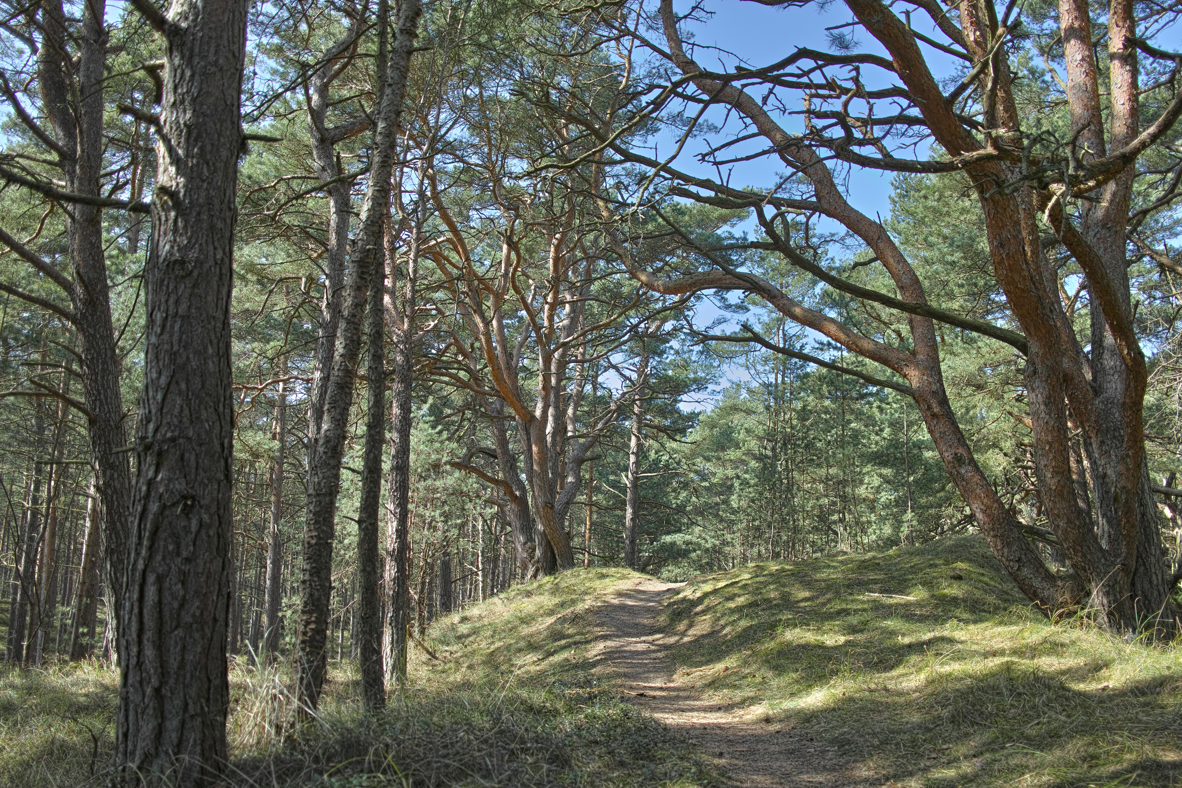
Deutsch: Naturpark Insel Usedom Bannwald in den Dünen zwischen Ostsee und Trassenheide Anfang April 2018 |
| Date | |
| Source | Own work |
| Author | Elisauer |
| Camera location | | View this and other nearby images on: OpenStreetMap |
|---|
LicensingEdit
I, the copyright holder of this work, hereby publish it under the following license:
This file is licensed under the Creative Commons Attribution-Share Alike 4.0 International license.
- You are free:
- to share – to copy, distribute and transmit the work
- to remix – to adapt the work
- Under the following conditions:
- attribution – You must give appropriate credit, provide a link to the license, and indicate if changes were made. You may do so in any reasonable manner, but not in any way that suggests the licensor endorses you or your use.
- share alike – If you remix, transform, or build upon the material, you must distribute your contributions under the same or compatible license as the original.

|
This image was uploaded as part of Wiki Loves Earth 2018.
|
File history
Click on a date/time to view the file as it appeared at that time.
| Date/Time | Thumbnail | Dimensions | User | Comment | |
|---|---|---|---|---|---|
| current | 15:03, 1 May 2018 | | 4,704 × 3,136 (16.81 MB) | Elisauer (talk | contribs) | User created page with UploadWizard |
You cannot overwrite this file.
File usage on Commons
There are no pages that use this file.
Metadata
Structured data
coordinates of the point of view<\/a>"}},"text\/plain":{"en":{"":"coordinates of the point of view"}}},"{\"value\":{\"latitude\":54.101372,\"longitude\":13.869912,\"altitude\":null,\"precision\":1.0e-6,\"globe\":\"http:\\\/\\\/www.wikidata.org\\\/entity\\\/Q2\"},\"type\":\"globecoordinate\"}":{"text\/html":{"en":{"P1259":"54\u00b06'4.939"N, 13\u00b052'11.683"E"}},"text\/plain":{"en":{"P1259":"54\u00b06'4.939\"N, 13\u00b052'11.683\"E"}}}}" class="wbmi-entityview-statementsGroup wbmi-entityview-statementsGroup-P1259 oo-ui-layout oo-ui-panelLayout oo-ui-panelLayout-framed">